Overview
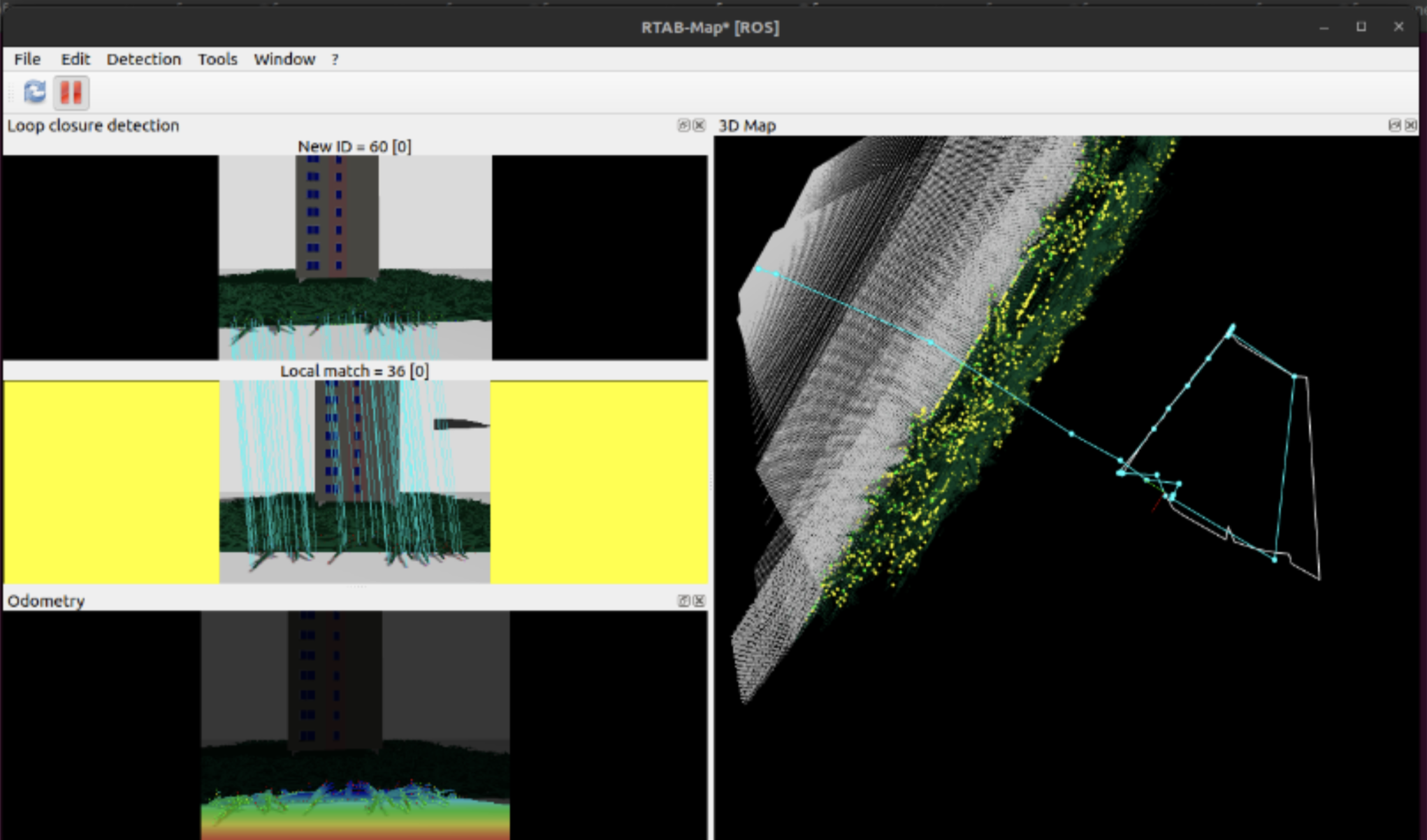
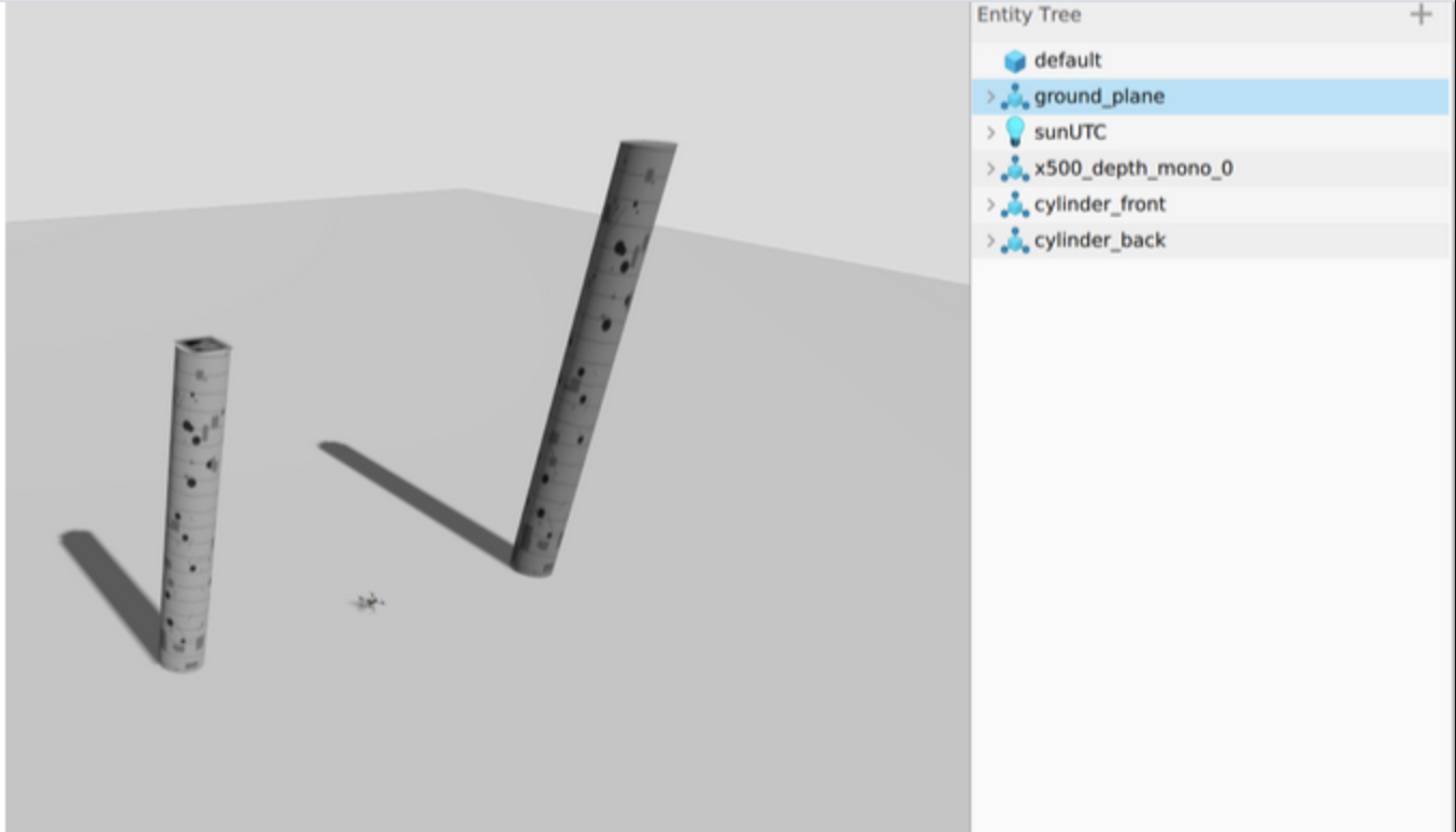
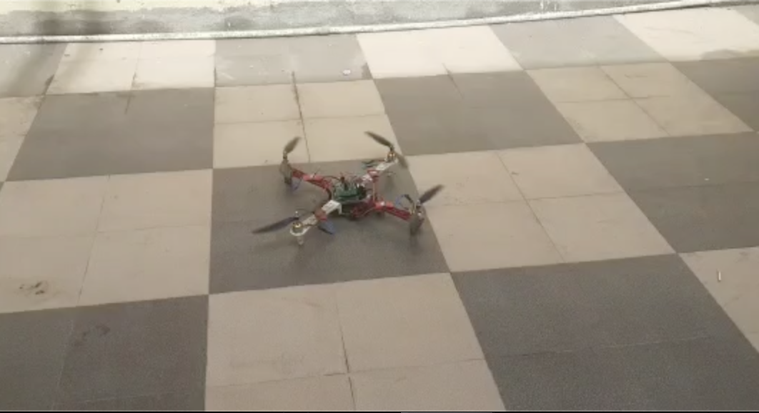
A multi-agent drone system that autonomously surveys and maps large infrastructure using stereo cameras and RTAB-Map SLAM in Gazebo. Each drone performs local mapping and fuses its map with others for a unified 3D reconstruction.
Technologies
ROS 2PX4GazeboRTAB-MapMAVROSPythonC++
Gallery
Links
Back to portfolio
© 2026 Khushal Sharma